

Stai seguendo
Impossibile seguire l'utente.
Questo utente non consente agli altri utenti di seguirlo.
Stai già seguendo questo utente.
Il tuo piano di abbonamento ti consente un massimo di 0 segui. Cambia abbonamento qui.
Non segui più
Impossibile non seguire più l'utente.
Hai consigliato .
Impossibile consigliare l'utente.
Si è verificato un problema. Aggiorna la pagina e riprova per piacere.
Email verificata.

sedaví,
spain
Attualmente sono le 7:49 AM qui
Registrato il agosto 29, 2015
0
raccomandazioni
José Ramón G.
@josramgg
1,3
1,3
100%
100%
sedaví,
spain
100%
Lavori completati
100%
Nel budget
100%
Nei tempi previsti
NA
Tasso di riassunzione
Mapmaker & Translator
Contatta José Ramón G. per il tuo lavoro
Accedi per discutere i dettagli via chat.
Portfolio
Portfolio

English to Catalan

English to Spanish
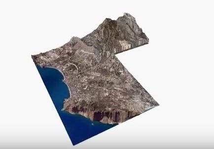

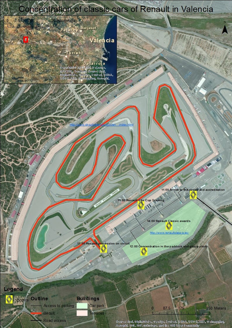
Cartographic movies
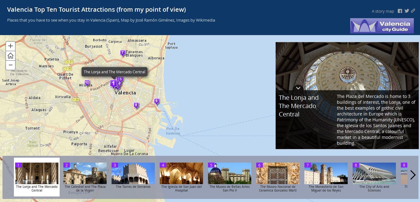

Geocoding and web map

Geometric adjustment

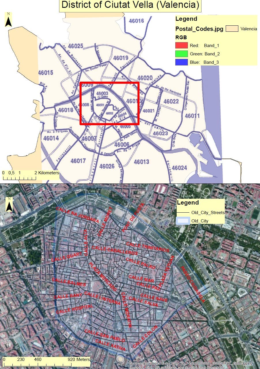
Digital mapping
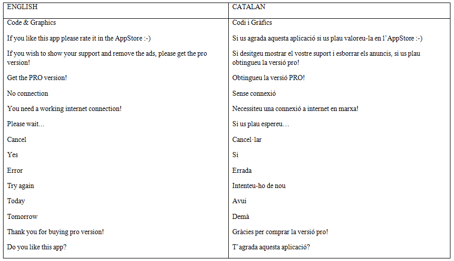
English to Catalan
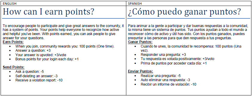
English to Spanish
Cartographic movies
Geocoding and web map
Geometric adjustment
Digital mapping
Valutazioni
Modifiche salvate
valutazioni 1 - 1 di 1 mostrate
$45,00 USD
Spanish Translator
Castilian Spanish Translator

•
Esperienza
Cartographer
lug 2007 - mag 2013 (5 anni, 10 mesi)
Cartographic work as a freelancer mainly connected to the CartoCity Project of Valencian Community (study of data model, development of a working methodology, staff training, quality control, etc.)
Formazione
Engineer in Geodesy and Cartography
(4 anni)
Graduate in Geography
(5 anni)
Contatta José Ramón G. per il tuo lavoro
Accedi per discutere i dettagli via chat.
Verifiche
Competenze principali
Cerca freelance simili
Cerca vetrine simili
Invito inoltrato!
Grazie! Ti abbiamo inviato tramite email il link per richiedere il tuo bonus gratuito.
Non è stato possibile inviarti l'email. Riprova per piacere.
Impossibile copiare negli appunti. Riprova dopo aver modificato le tue autorizzazioni.
Copiato negli appunti.
Caricamento anteprima
Autorizzazione per la geolocalizzazione concessa.
La tua sessione è scaduta ed è stato effettuato il log out. Accedi nuovamente per piacere.